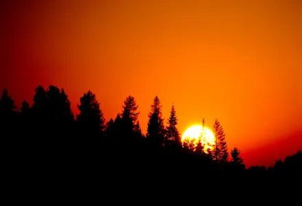
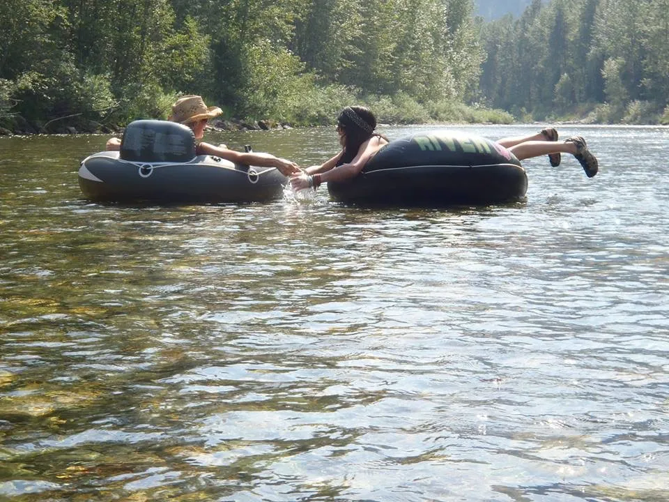
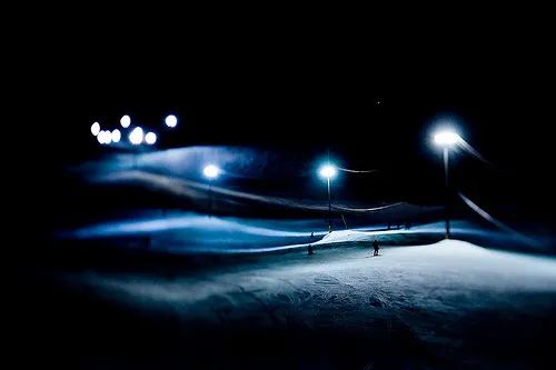
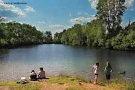
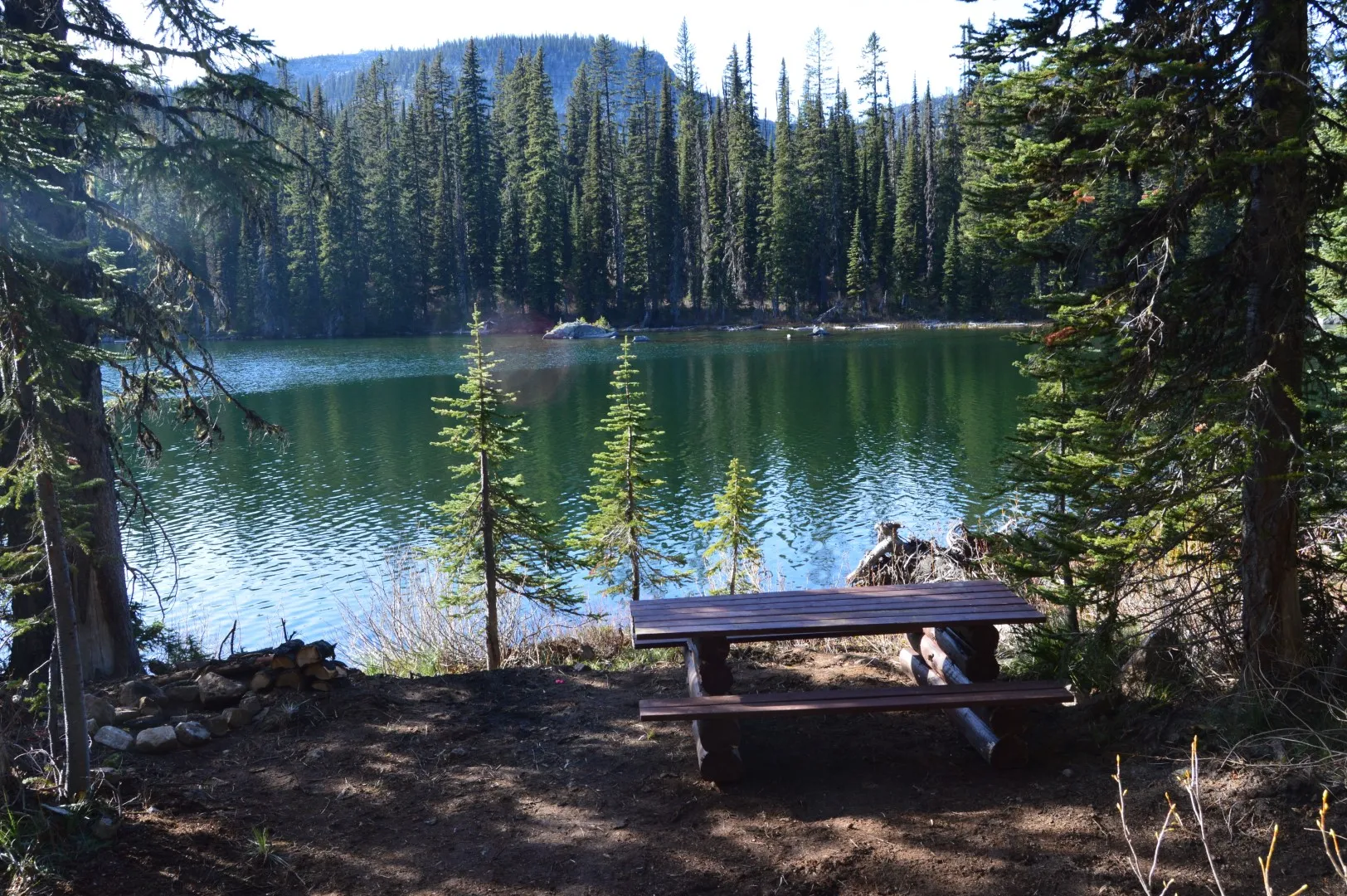
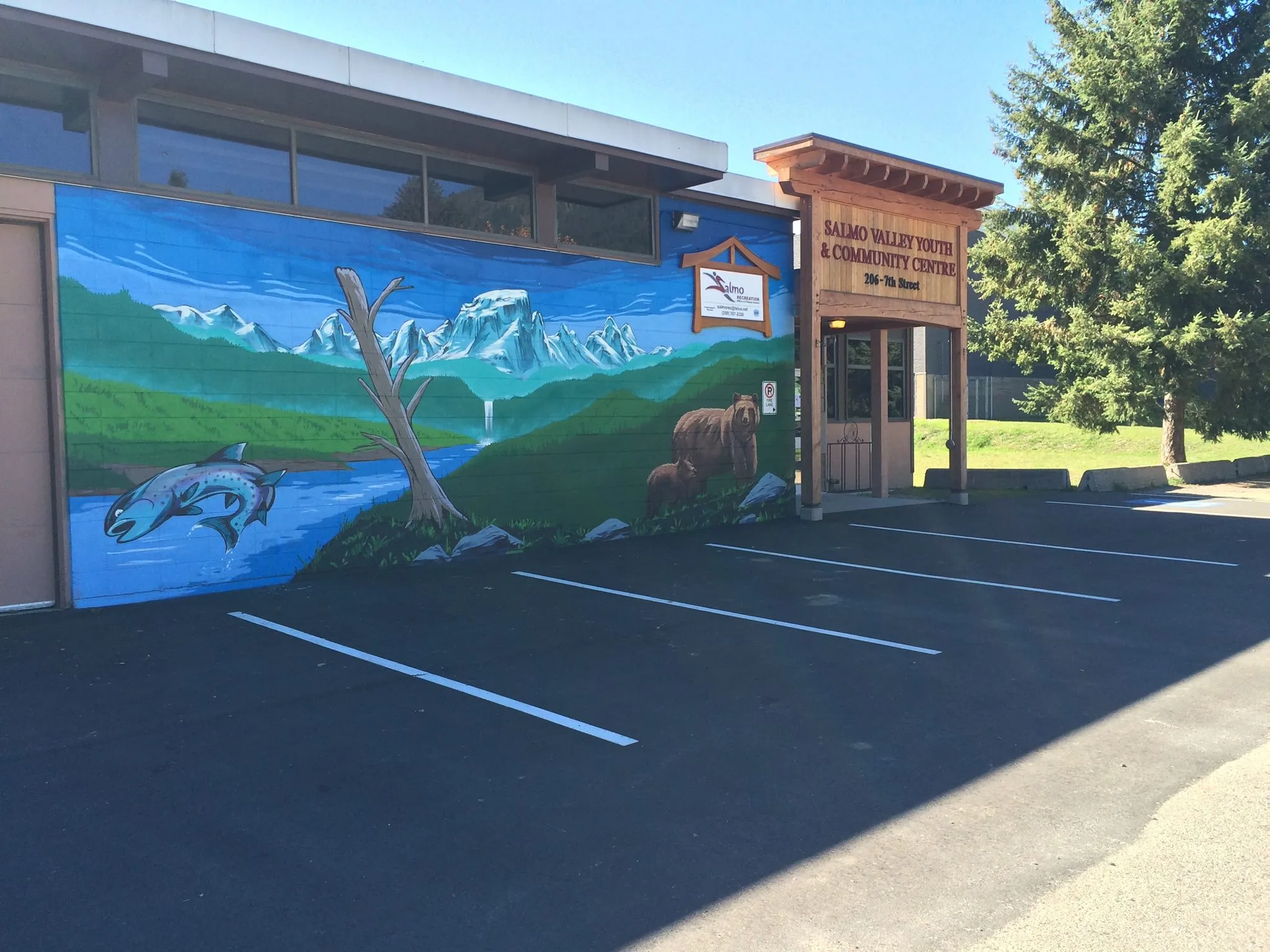
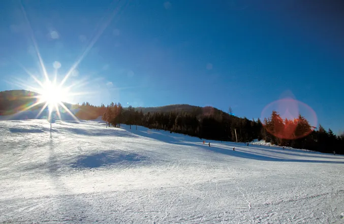
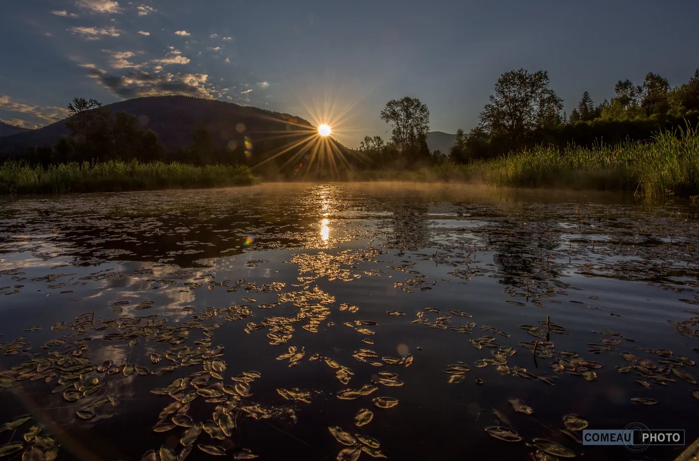
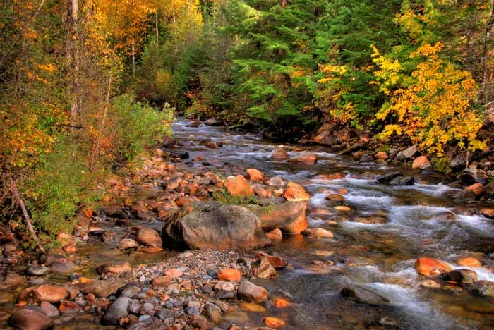
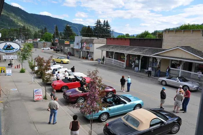
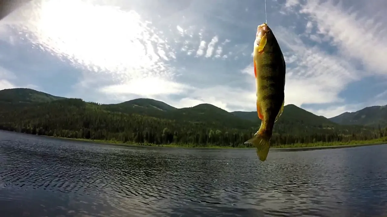
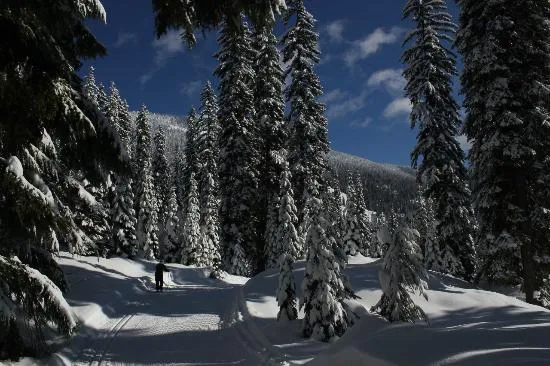
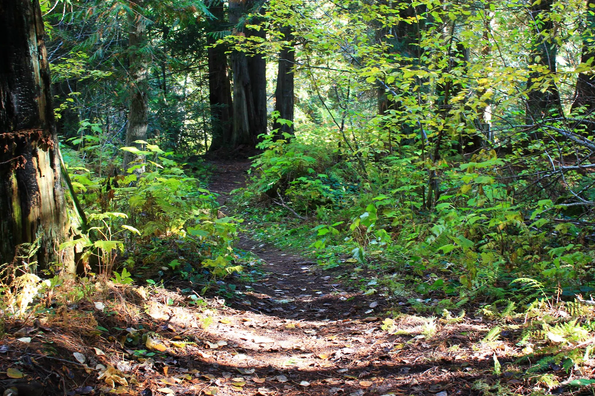
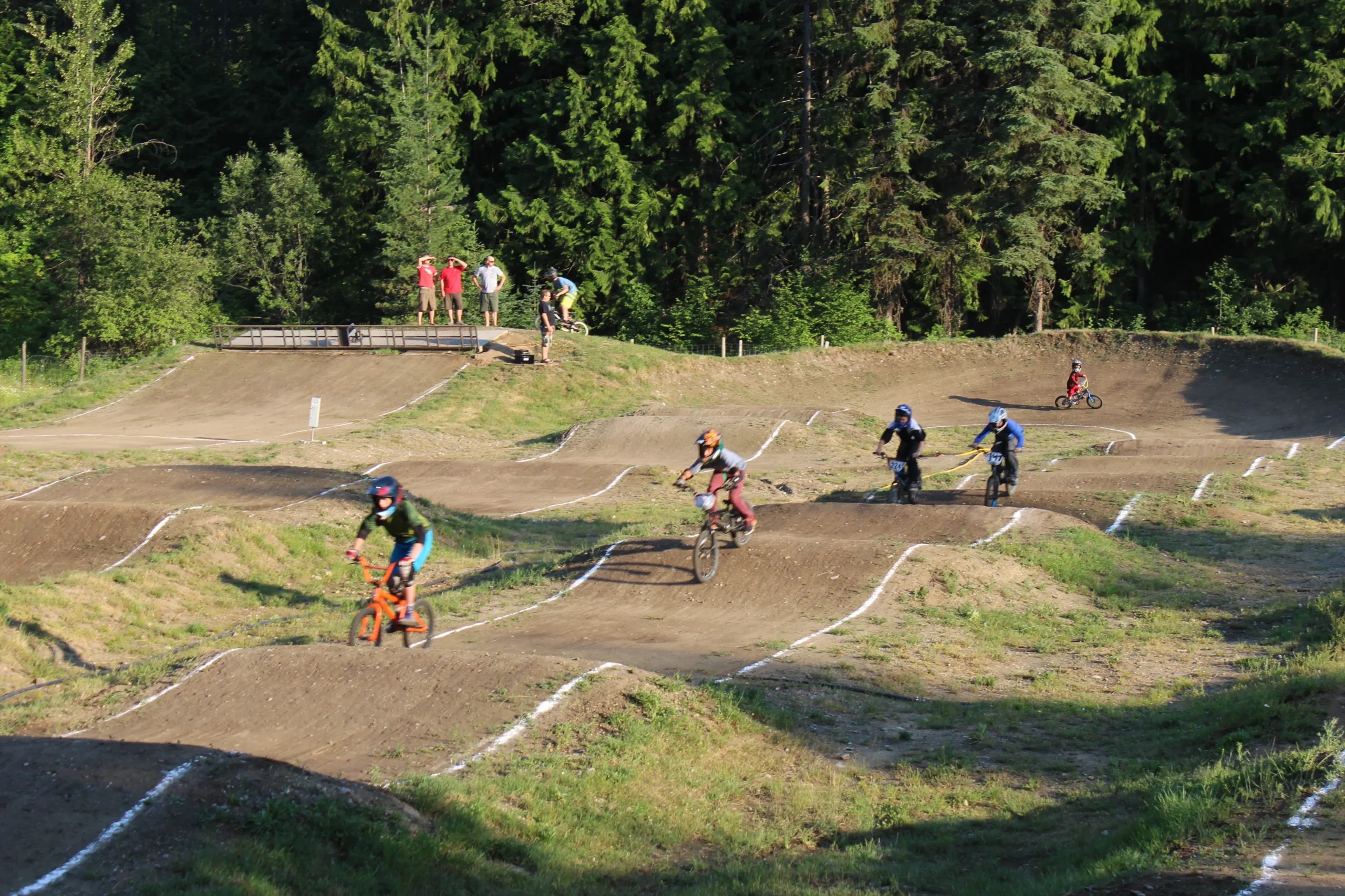
Located at the junction of the Crowsnest Highway and Highway 6, Salmo is about a 30 minute drive from the communities of Castlegar, Nelson, and Trail and 45 minutes from Creston. Salmo is at the westernmost end of the Salmo-Creston highway, constructed in the late 1950s (now Highway 3). It was developed as a shortcut to avoid the long route north to Nelson and crossing Kootenay Lake by ferry between Balfour and Kootenay Bay. It is a wonderful community whose residents and visitors enjoy numerous outdoor activities including hiking, fishing, biking, golfing and skiing. Be sure to check out the ‘Recreation & Attractions’ page, HERE.
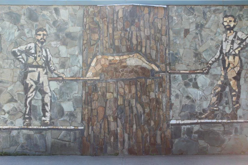
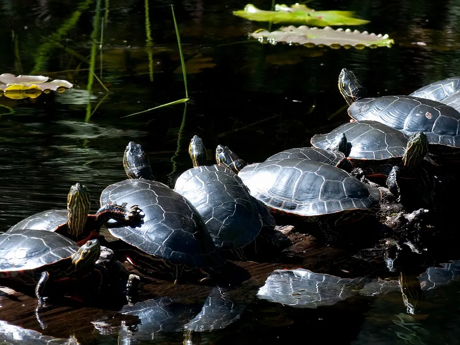
Originally known as Salmon Siding (named for the original name of the Salmo River, i.e. the Salmon River), the Village of Salmo was founded as a small mining town near the Nelson and Fort Sheppard Railway during the gold rush of 1896. The name of the town was changed to Salmo to avoid confusion with other places with similar names. When dams were created along the Columbia River in the 1960s and 1970s, Salmo’s fish stocks were depleted, forcing the Village to integrate new forms of industry for the Village to survive.
Contact
Ph: (250) 357-9433
Fax: (250) 357-9633
Email: info@salmo.ca
Hours
Monday to Friday:
8:30 am – 4:30 pm
Closed: 12:00 pm – 1:00 pm daily
